Glacier National Park - August 26-30, 2012
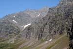
The walls that surround this valley have all sorts of different types of rock, so I tried to capture it the best I could as I was taking the pictures.
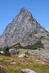
On the top of Gunsight pass we looked over to the left to see this pyramid clashing with the awesome blue skies we saw most of the week, well at least when the smoke did not alter the horizon.
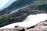
This another look at the glacier that is on the top of Gunsight pass. We took many pictures of this glacier, particularly because we could walk on it. You can also see the trail behind it that take us down to the lake.
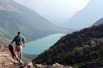
Here I am posing on the top of Gunsight pass with the lake behind me. Notice how the smoke from the wildfires in southern Montana have hidden the distant view from us.
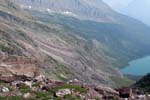
Another look at the different type of rock on the walls with a piece of Gunsight Lake.
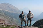
Some day hikers arrived on the pass with us and took the picture of us before we headed down.
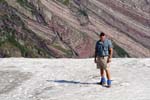
Of course we had to walk out on the Glacier and pictures to prove it. Unusual for us southern folk to see snow at the end of August.
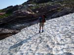
On our way down to the lake we came across a lot of glaciers and snow packs, but we had to cross this one. I didn't think it would be a big deal, but as I was going across the wind was blowing, it was pretty slick and it was about a 500ft slide to the bottom.
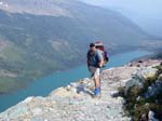
This was a nice overhang in the trail that allowed us to show off our packs, altitude and the trail. Besides the smoke it was a really nice day.
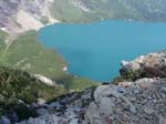
From the same ledge, this looks down to the lake. I was hoping to provide an idea of the drop, but I don't think it worked. I really love the blue color of these glacier feed lakes is just amazing.
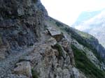
This picture gives you an idea of how some sections of the trails we hiked were only a few feet wide with a long drop off the edge.
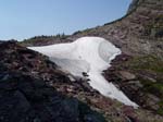
This is looking back up at Gunsight pass and the Glacier that we were standing on. If you follow the slope up to the right, that is where we were taking a lot of the pictures looking down at Gunsight Lake.
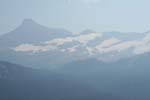
As we headed to our designated camp area this night, we walked past some of the largest Glaciers in the park. Unfortunately, the smoke really messed up the views, but you can tell that some of these Glaciers are huge.
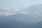
I was using my zoom lens to get as close as I could to these Glaciers.
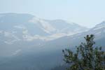
As you can see, they are vast in this area. The sun does not hit this area most of the day and the glaciers are very thick.
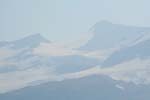
On this particular glacier, if you look closely you can really see the thickness.
Of course, the glaciers are melting and all that water has to go somewhere. The flow made all sorts of waterfalls along its way down to the bottom of the valley, this one was running quite well.
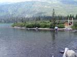
At the head of Gunsight Lake, we had to cross the creek at the foot of the lake. As you can see behind Tom, they are in the process of building the cable bridge. To be honest, it was nice to cool the feet off in the cool water.
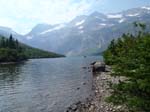
As we are putting our boots back on and filtering some water, I looked up at the pass and all the snow fields and decided to take this picture.
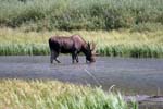
We saw plenty of day hikers on this day as Gunsight is a popular day hike. As we were going along everybody kept telling us about this moose. So we were well prepared to catch him if he actually existed. Moose really like to eat the vegetation in the creeks in Glacier.
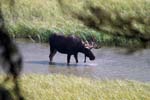
This moose saw us, but really didn't care at all about us. He would just slowly walk around creek, glance at us and go back to eating.
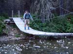
The next day, our campsite was along this creek and we had to cross over this rickety bridge to continue on our 15 mile day. This bridge was rickety at best, but carrying a 50lb pack does not help you to stabalize yourself as you cross it.
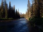
As we walked down the trail this morning, we had another moose jump out on to the trail. He took off pretty quickly. As we heard him tramping through the woods, we turned to look back down the trail and saw this view.
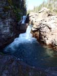
This is St. Mary's falls. It is at the head of St. Mary Lake. We will be walking along the lake for 6 or 7 miles, and we get to start at the very head and work our way down.
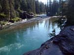
This is looking downstream from St. Mary's falls. What I was trying to do was capture how blue the water was at this point. It was a teal blue that you would never expect, but the pictures just can't seem to capture the color.
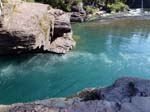
Here is another view at the bottom of the falls. It really looks inviting and given a hot enough day, I think I would have tried it, but it never really got hot, at least in terms of us southerners.
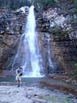
This is Virginia falls which is above St. Mary's falls. I took a picture without anyone in it and it just did not give you the perspective needed to see how tall this was, so I volunteered to get as close as I could without getting wet!
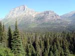
As we start down the shore line of St. Mary lake, we broke out into an open area and saw these peaks off in the distance. Just thought they were awesome!
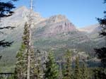
These mountains are probably the most photographed part of Glacier. In most of the pictures you see of Glacier NP you will see th mountain range behind a beautiful lake. This is the lake, you can see a little bit of it in this picture, along with its mountains.
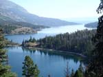
This picture is taking looking down at St. Marys in the opposite direction that most photographers shoot. This spot is really not too far off the beaten path, but there are just so many vistas for pictures, why work for it! :)